
Find Mission Viejo Neighbors Around an Address
A block lookup should answer one of three questions: which parcels touch the target, what legal or assessment facts describe those parcels, or which community group serves the area. No single source answers all three. Keep owner, occupant, applicant, HOA coverage, and neighbor contact as separate relationships.
| Block source | What it shows | Access |
|---|---|---|
| Mission Viejo Community GIS | Selected parcel, adjacent property lines, HOA, zoning, flood, and service layers | Public advisory map |
| Orange County Assessor | APN, annual assessed values, exemptions, and roll context | APN form; owner omitted |
| OC Public Works survey viewer | Tract, parcel, annexation, survey, legal-description, and measurement clues | Public viewer |
| Recorder index | Indexed parties after a name or instrument is known | Free index; paid copy |
| Mission Viejo permits | Project scope and named roles across a site’s work history | Portal or focused request |
| Controlled voter street index | Selected registrant fields for qualified statutory uses | Application and controls |
| Neighborhood Watch | Community organizing and safety contact route | Contact, no roster |
The target address should become a parcel and APN before the adjacent parcels are compared. A map can show what touches the property without naming a household.
The Orange County tax map adds a county parcel view that can help compare the target APN with nearby parcels.
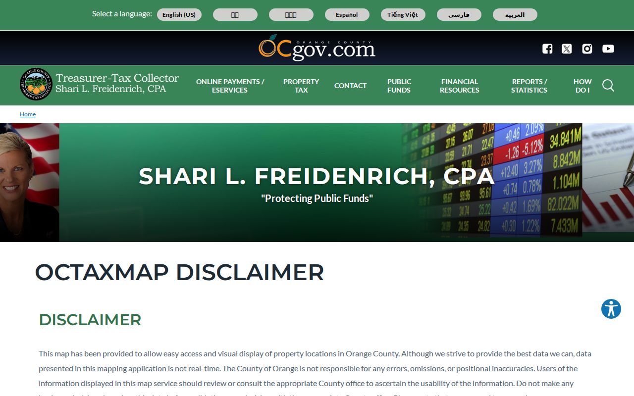
Tax-map context supports parcel geography; it does not turn adjacent land into a neighbor roster.
Mission Viejo GIS Adjacent Parcels
The documented GIS method is direct. Enter Street/Address, use Zoom In or drag Zoom to Area, choose Get Information, and click the target parcel followed by adjacent polygons. Aerial Color Photography and Property Lines show the physical relationship. The viewer does not document a radius, buffer, export, or automated neighbor roster.
Layer names can add context: property information and lines, electric company, flood zone, homeowner association, water and school districts, trash day, street-sweeping day, zoning, land use, and watershed. The HOA layer establishes coverage only. It does not disclose membership. The map data comes from Digital Map Products and should be verified with the named city or service department.
See the Mission Viejo Community GIS page for the current map link. The Orange County parcel tax search adds the dated tax layer shown with the block context.
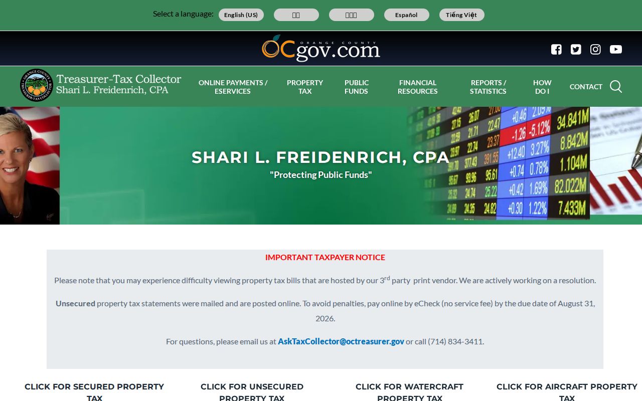
The tax-search view complements GIS by adding a dated parcel context, while the map remains the tool for adjacency.
Measure a Mission Viejo Block
When the question is legal adjacency rather than visual closeness, use the OC Public Works survey viewer. Filters include city, document type, date range, parcel map, APN, and overlay or PDF. The viewer covers tract maps, parcel maps, records of survey, corner records, lot-line adjustments, tie books, alignment notes, and related survey material.
Results can carry an APN, legal description, parcel address or number, and road right-of-way dimensions. Draw and Measure can test physical distance. Annexation, tentative-map, corner, control, flood, and field-note layers help explain why two places look close but do not share a parcel line. Measurement is geography, not identity.
Open the OC Public Works survey map viewer when a block question needs a tract or legal-description check.
Owners, Applicants, and Mission Viejo Occupants
Several records can mention the same parcel while naming different people. The Assessor roll concerns assessment and omits the owner from the public APN result. A deed names parties to an instrument. A permit names an applicant, contractor, owner, or authorized agent. A tax bill is an annual snapshot. A person connected to one role may never have occupied the site.
Mailing and situs addresses also diverge. A return or tax-statement address may belong to an absentee owner, trust, entity, or manager. A homeowner exemption is an occupancy clue, not proof. A permit applicant can be a contractor. An HOA contact is not a member roster. These distinctions keep a neighbor lookup from becoming an unsupported household claim.
- Adjacent parcel
- A mapped parcel that touches the target boundary; it does not name the people inside it.
- APN
- The assessor parcel number used to join parcel records across county tools.
- Situs
- The location assigned to land, distinct from a mailing or tax-statement address.
- Buffer
- A radius or area around a point. Mission Viejo GIS does not document a public buffer tool.
Controlled Voter Data Near a Block
Orange County’s self-lookup authenticates one person’s registration. It does not allow casual by-street browsing for neighbors. A qualified voter-file application can request selected fields by county, district, precinct, or date range, subject to Elections Code sections 2188, 2194, and 18109, Government Code section 7924.000, and 2 CCR sections 19001 through 19013.
The application requires a wet signature, declared statutory purpose, supporting documentation, and payment. A standard file may include voter ID, name, residence or mailing fields, party, registration date, mail-ballot status, precinct, and optional history. History gives election, date, precinct, and method, never candidate or ballot choice. Safe at Home and other protected records are excluded or substituted.
Use the Orange County voter-data application guidance to decide whether a proposed block question is eligible before requesting anything.
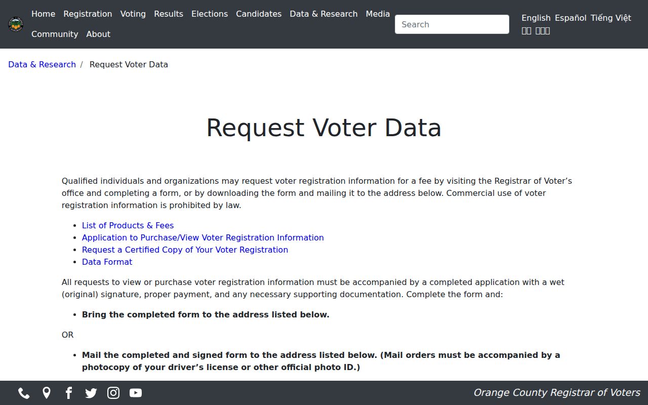
The controlled-data rules are part of the block map. A neighbor lookup cannot bypass them by changing the wording of the request.
Mission Viejo HOA Coverage
The GIS HOA layer can show which association area covers a parcel. It does not document membership, a resident list, a board roster, or an individual contact. The research found no official master HOA inventory or member-directory status. Treat the layer as a service or geography clue and ask the association about its own lawful contact process.
Lake Mission Viejo Association is listed as a community contact at 949-770-1313. The local resource list also names civic and sports groups, including Nadadores, but it does not promise a public resident directory. A community contact can explain services or activities without identifying a household next door.
Neighborhood Watch Without a Roster
Mission Viejo Neighborhood Watch is a community-organizing route, not an index of neighbors. The research says participation requires two Orange County Sheriff’s Department representative meetings. Crime Prevention can be reached at 949-470-8433 or crimeprevention@cityofmissionviejo.org.
For an incident record, Orange County Sheriff’s Department Information Management handles report requests. A requester should provide report number, date, location, requester status, and identification. Active investigations, victims, witnesses, juveniles, and private material may be withheld or redacted. A report request is not a block roster.
Police Services also links CrimeMapping, which accepts an address, landmark, or ZIP and offers fifteen crime types. That tool describes reported incidents and safety geography. It does not identify neighbors, prove who was present, or replace the Sheriff’s report process. Keep an incident date and location with any safety clue.
Review the Orange County Sheriff report-request page for eligibility and redaction details.
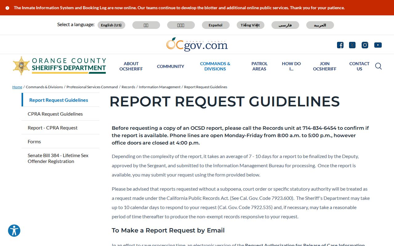
The official report channel keeps a safety question tied to an incident record rather than a speculative list of people.
Mission Viejo Neighborhood Contacts
Community contacts can help with a service area, volunteer group, or safety meeting without exposing member records. Use the contact layer for participation and local knowledge, not as a substitute for parcel or custodian evidence.
| Lake Mission Viejo Association | 949-770-1313; community association contact listed in local resources. |
|---|---|
| Crime Prevention | 949-470-8433; crimeprevention@cityofmissionviejo.org; Neighborhood Watch meeting route. |
| Activities Committee | mvac@cityofmissionviejo.org; resident and business volunteers, no dues stated. |
| Diversity and Inclusion Task Force | diversity@cityofmissionviejo.org; civic, religious, and business volunteer contact. |
No HOA member directory, master association list, or public neighborhood roster was confirmed. A contact page can tell a researcher whom to ask about a program while leaving private membership data with the group.
Official Block Records Versus Compilations
Commercial neighbor compilations can combine stale address links, marketing data, and inferred co-resident claims. Use them only as unverified leads, if at all. The official source is better for a defined parcel, instrument, permit, incident, or controlled voter record.
Orange County Data Central can provide aggregate registration totals by city, district, and year, with active or inactive context. It is useful for a civic picture of a place, not for naming a block’s households. The county tax map and parcel search likewise show land and tax context, while the GIS layer explains adjacency. Combining these layers can describe a neighborhood without claiming that every nearby record belongs to one person.
See the Orange County Data Central resource for city, district, and year-level totals.
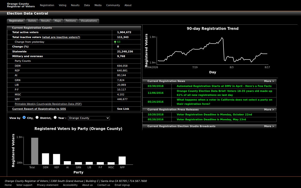
Aggregate counts can describe a civic area without exposing a block’s individual registration records.
| Source | What it can do | What it cannot promise |
|---|---|---|
| GIS and survey records | Show parcels, boundaries, tracts, legal maps, and physical distance | Who occupies a house or belongs to an HOA |
| County rolls and deeds | Describe assessment and dated recorded party roles | A complete list of current neighbors |
| Community contacts | Connect a person to a program, service, or meeting | A public member roster or home address |
| Commercial compilation | Suggest a lead to verify | Freshness, source path, or identity accuracy |
A block lookup is strongest when the map, record, and purpose stay aligned. Stop when the next step would require protected data or an unwanted personal contact.
Privacy Limits on Mission Viejo Neighbors
Adjacent parcels are public geography. People connected to those parcels may not be public in the same way. Renters, minors, household members, utility subscribers, confidential voters, and protected-address participants may not appear. DMV data is closed under the Driver’s Privacy Protection Act. Safe at Home supplies a substitute mailing address for eligible participants and does not erase every old record.
Use neighbor records for lawful personal research, community participation, property history, and civic review. Confirm a result with the custodian and do not treat a map, tax record, HOA layer, permit, or party name as permission to contact someone.
Lawful use. Mission Viejo neighbor information must not be used to stalk, harass, intimidate, or harm anyone. A block map should describe parcels and community channels, not assemble a dossier about private households.