
Mission Viejo ZIP Code Coverage
USPS controls the standardized delivery ZIP for a complete current address. The city and county GIS control the jurisdiction of the parcel. The table separates the four ZIP labels that can appear in a Mission Viejo search so that a postal match is not mistaken for a municipal one.
| ZIP code | Areas or anchor | Post-office label | Notes |
|---|---|---|---|
| 92691 | Northern, western, and older Mission Viejo; Civic Center and Library | MISSION VIEJO CA 92691 | Verified geographic city ZIP |
| 92692 | Southern and eastern Mission Viejo; Center and Hillcrest examples | MISSION VIEJO CA 92692 | Verified geographic city ZIP |
| 92690 | Legacy or nonstandard association | Not established | Current PO-box or delivery status remains a research gap |
| 92694 | Ladera Ranch and Rancho Mission Viejo outside city limits | Postal processing association | Do not count as city-proper without parcel verification |
The coverage table is a research map, not a population count. No dated ZIP realignment, assignment authority, or per-ZIP population table was located.
92691 in Mission Viejo
ZIP 92691 is tied in the research to northern, western, and older parts of Mission Viejo, including the Civic Center and Library anchor. It is a delivery area, so the label helps with mail and address normalization. It does not replace a parcel check when the search concerns a city line, HOA, school district, or service provider.
For a name or address project, pair a USPS result with Community GIS. A street query can identify the parcel and APN, while the map layers can show property lines, HOA coverage, zoning, land use, flood information, and service districts. Keep the postal result as a correspondence clue and the parcel result as the land clue.
For demographic context, Census ZCTAs approximate ZIP geography but are not USPS routes. A census number should therefore not be used as a count of Mission Viejo households without stating the geography.
Review the Census QuickFacts Mission Viejo table when population or density context is needed.
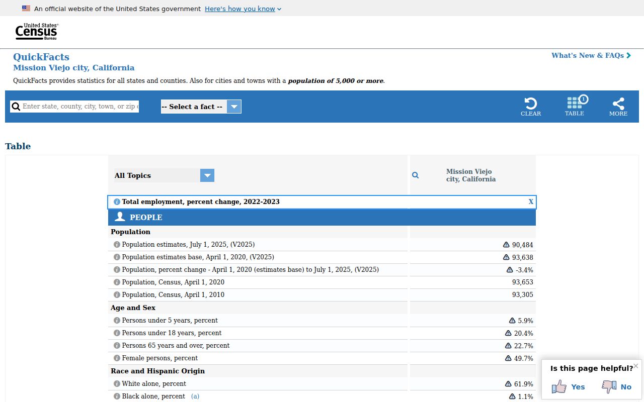
QuickFacts describes the city as a whole, while a ZIP or ZCTA describes a different statistical or delivery geography.
92692 in Mission Viejo
ZIP 92692 is associated with southern and eastern Mission Viejo, with Center and Hillcrest examples in the research. The same verification order applies: USPS for delivery, city or county GIS for jurisdiction, and APN or legal description for land records. Do not fold school, water, electric, HOA, flood, trash, or sweeping layers into the ZIP itself.
If a 92692 search is meant to identify a parcel, use the number and bare street name in Community GIS. If it is meant to find a record, carry the APN into the Assessor, Tax Collector, survey viewer, permit portal, or recorder trail. A ZIP-only search is too broad for a deed chain and too loose for a resident claim.
The city’s 17.66 square miles and planned-community tracts make geography meaningful, but the research did not locate a current ZIP-by-ZIP population or registration table. State the source and date whenever a number is added later.
The 92694 Mission Viejo Trap
ZIP 92694 is the local geography quirk. The postal association reaches Ladera Ranch and Rancho Mission Viejo outside Mission Viejo’s incorporated boundary. A search that counts every 92694 mailing label as a Mission Viejo resident search will include the wrong city.
Resolve the mismatch in two steps. First, use USPS to confirm the delivery label. Second, use Mission Viejo or Orange County GIS and parcel jurisdiction to decide whether the land is inside the city. For schools, water, HOA, flood, utilities, or trash, verify with the separate provider or layer. A ZIP never answers all of those questions.
Local geography rule. A Mission Viejo postal label does not prove incorporation. A 92694 label is a prompt to check Ladera Ranch or Rancho Mission Viejo geography before counting a record.
What 92690 Still Does Not Show
The research could not establish whether 92690 is currently a PO-box, legacy, or delivery ZIP in the relevant Mission Viejo sense. No dated assignment, realignment, or current definition was located. Keep the label as an open research question rather than filling the gap with a guess.
USPS should answer the complete-address question. The city’s planning route, at 949-470-3053 or cd@cityofmissionviejo.org, can help with land-use or jurisdiction questions. GIS and the parcel record should settle whether a site is inside the city. An old document that uses 92690 may also reflect a past mailing convention rather than a current boundary.
Narrow Mission Viejo Residents by ZIP
A ZIP code can narrow a lawful resident-record workflow, but the sources accept it in different ways. USPS verifies delivery. GIS identifies parcels and service geography. The Assessor uses an APN rather than a ZIP or public owner-name search. The voter tool authenticates one’s own registration, while qualified voter files require a statutory application. Follow the sequence below instead of expecting a ZIP-wide roster.
- Verify the full address and delivery ZIP through USPS, especially when the label is 92694 or the 92690 question is involved.
- Check the city and county GIS layers to separate incorporated Mission Viejo land from a neighboring postal area.
- Use the parcel or APN as the next key for assessed values, tax context, surveys, permits, or recorded documents.
- Use voter information only for an authenticated self-lookup, or follow the controlled application rules for a qualified statutory request.
- When the ZIP narrows to a street, move to the Mission Viejo by-street record chain for parcel and address detail.
A ZIP match is a starting filter. It is not evidence that every name in that delivery area belongs to one city or one household.
USPS Mission Viejo ZIP Search
The USPS lookup has two useful routes in the research: a complete address lookup and a city-and-state lookup. The first is the right control for a specific street. The second is a way to review ZIPs associated with the postal city label. The form does not decide municipal jurisdiction.
| Complete street address | Use the address route to obtain the standardized delivery city and ZIP for a full address. |
|---|---|
| City and state | Use the city/state route to inspect ZIP associations for the postal city label. |
| USPS output | Treat the returned delivery ZIP as mail geography, then check GIS or parcel jurisdiction separately. |
Open the USPS ZIP Code Lookup by address for a complete street address.
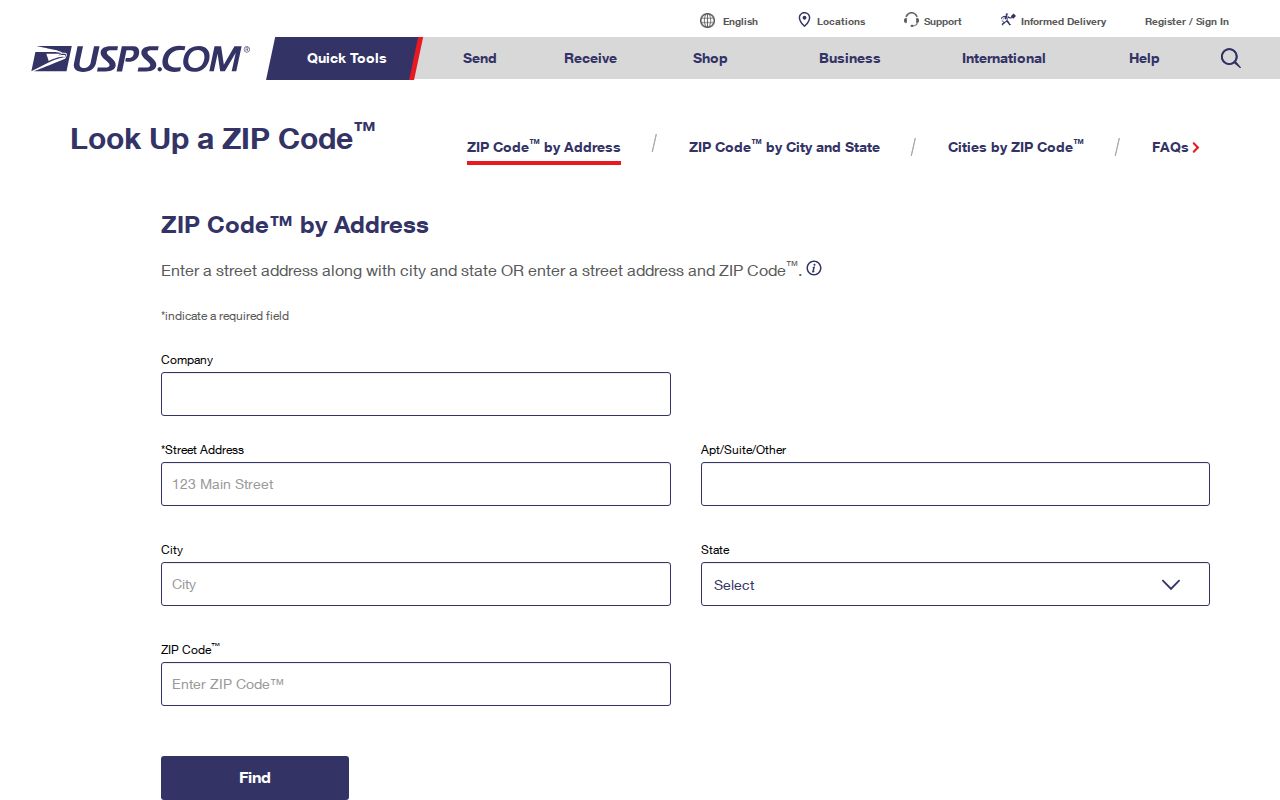
The address route is the cleanest way to settle a delivery ZIP before combining it with parcel or resident-record research.
For the city-and-state route, use the USPS city and state ZIP lookup and keep the output separate from a city-limit claim.
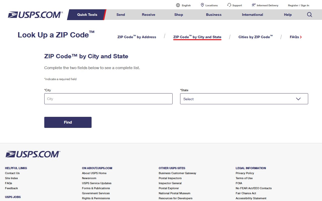
City-and-state results explain postal association, not the boundary of Mission Viejo’s incorporated land.
Mission Viejo GIS Versus ZIP Geography
Community GIS can show a selected parcel, boundary, aerial imagery, HOA, flood zone, water and school districts, trash and sweeping schedules, zoning, land use, watershed, and relevant service contacts. Those layers answer questions that a ZIP cannot. They also come with a city disclaimer because Digital Map Products supplies the data.
For legal ownership, use APN and legal description with the Recorder. For correspondence, use the lawfully disclosed mailing address. For demographic analysis, label a ZCTA as an approximation. For a resident lookup, retain the effective date and source because a historic address or voter record may no longer describe the current city.
OnBase’s city document search is another geographic clue for municipal records. It supports document type and exact or wildcard searches such as *marg* or 123*, but a document hit remains a city record, not a resident list.
Review the Mission Viejo OnBase document search when a ZIP-related city record needs a municipal source.
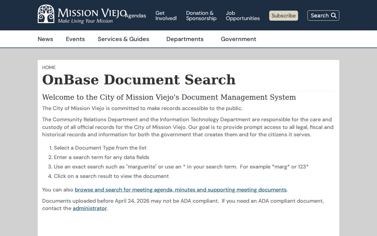
A municipal document search can add a date or project clue after the ZIP and jurisdiction have been separated.
For the right municipal contact, use the Mission Viejo city department directory. It helps route a question to the city office that holds a document or explains a service area; it is not a ZIP roster or a resident search.
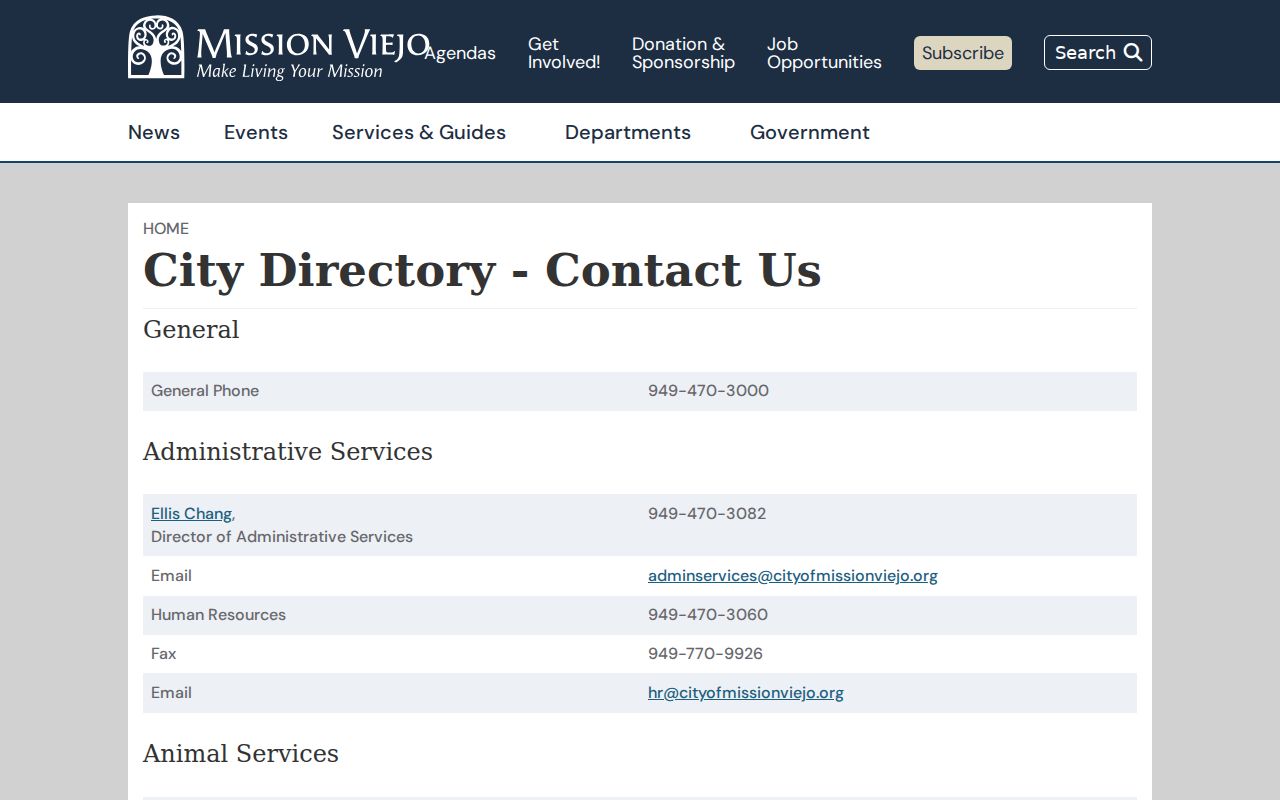
A city contact list can identify the next custodian, while USPS and parcel GIS still answer the separate geography questions.
Mission Viejo ZIP Code Directory Limits
A ZIP code directory helps route an address search, but the term “resident” still needs a record source. Do not treat a ZIP as a household list, city boundary, HOA roster, school district, or property title. When a ZIP overlaps a neighboring place, the parcel and provider layers control the next step.
Keep four labels in the research notes: delivery ZIP, city jurisdiction, Census ZCTA, and parcel geography. USPS controls the first. Mission Viejo and Orange County GIS control the second and fourth. The Census ZCTA is an approximation for statistics. None of these labels identifies a person. A tax map can add parcel context, while a city document search can add a dated administrative clue, but both remain separate from a household record.
The same caution applies to current and historic results. A ZIP attached to an old newspaper, tax bill, or deed may reflect the mailing practice at that time. Save the source date, exact label, and retrieval date. If the result matters to a family or property history, verify the address with the custodian that owns the record.
- ZIP code
- A USPS delivery geography used to sort and route mail.
- ZIP+4
- An added delivery segment that narrows a mailing route beyond the five-digit ZIP.
- PO-box ZIP
- A ZIP associated with post-office boxes rather than a normal street delivery area; 92690’s current status was not established.
- Unique ZIP
- A ZIP assigned to one organization or facility, not a general neighborhood; no Mission Viejo unique ZIP was verified here.
- Carrier route
- A delivery path used by the postal system, narrower than a city and different from a parcel boundary.
Use with care. A ZIP-based resident search is lawful only when it respects the custodian’s access rules and the privacy limits around voter, DMV, vital, and protected address data.